Professional Surveying • Drone Imaging • Mapping
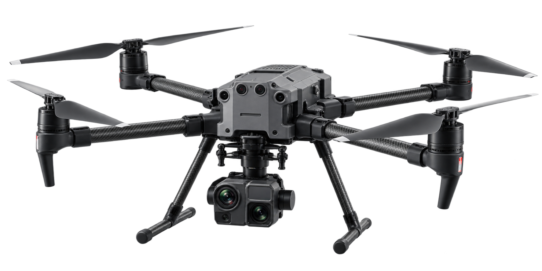
Drone Services
Aerial imaging, mapping, inspections, and data collection
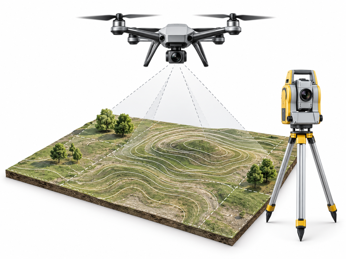
Land Surveying
Boundary, topographic, construction, and site surveying
Site Technology
Ground penetrating radar and related site investigation services
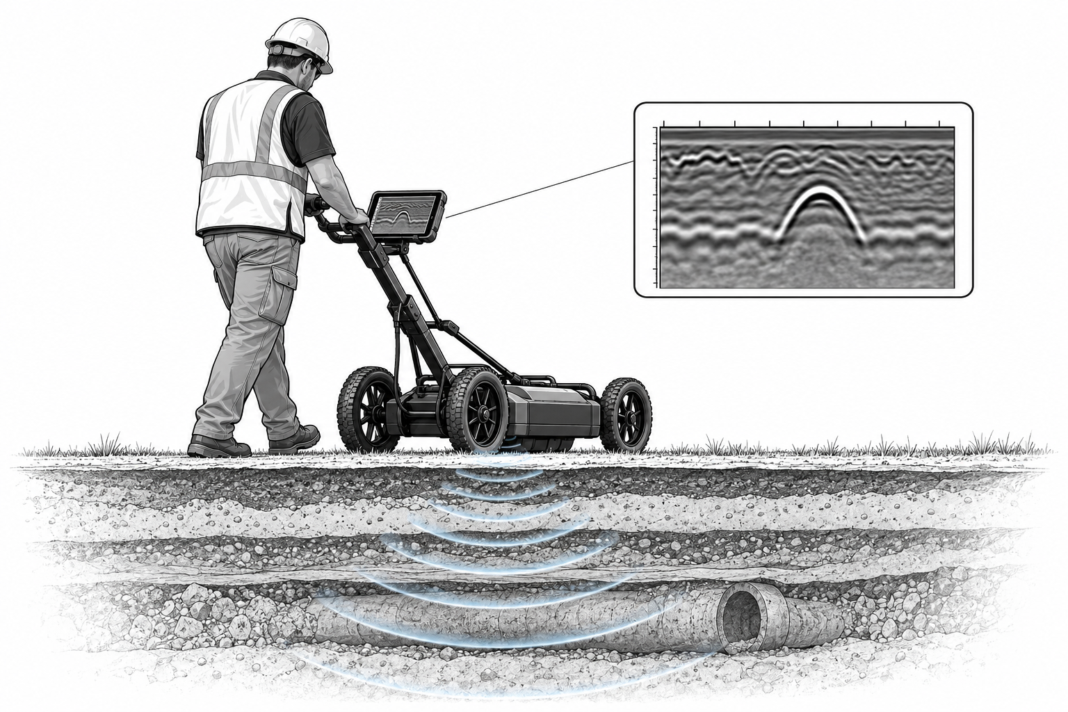
See What’s Below Before You Build
Geophysical surveying provides valuable insight into subsurface conditions without unnecessary excavation or disruption. Using advanced technology such as ground-penetrating radar and other sensing methods, we can help identify buried utilities, underground features, voids, changes in soil conditions, and other potential concerns. This information helps improve site planning, reduce unexpected delays, support safer excavation, and give project teams a clearer understanding of what may be beneath the surface before work begins.
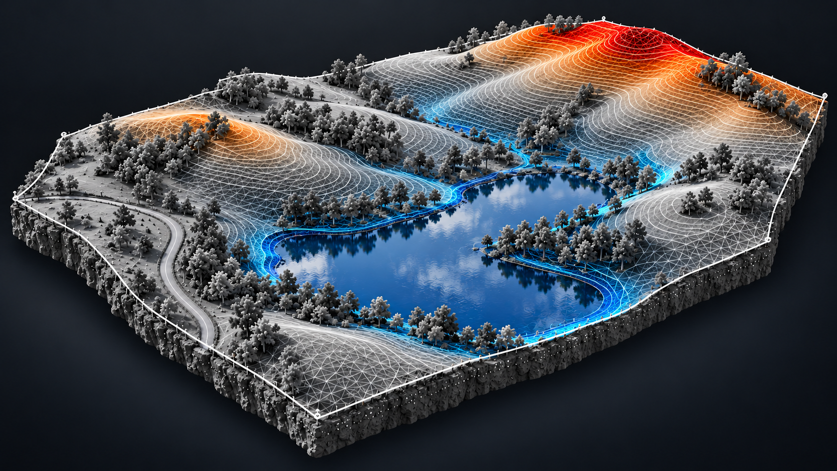
Precision Mapping from Above
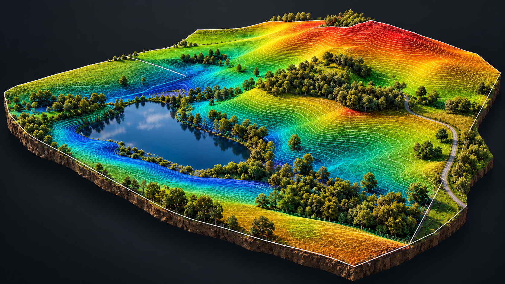
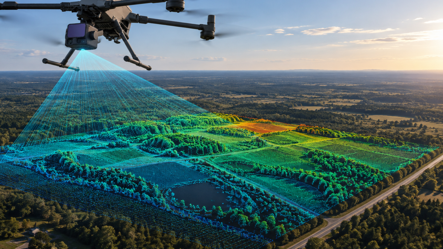
Drone topography provides a fast, accurate, and efficient way to capture detailed information about a property or project site. Using advanced drone technology, we can collect high-resolution aerial data to create precise topographic maps, elevation models, contour lines, and 3D site models. This allows clients to better understand existing terrain, elevations, drainage patterns, and site conditions while reducing the time and field work required by traditional methods. Drone topography is especially valuable for construction planning, site development, earthwork analysis, progress monitoring, and large or difficult-to-access properties.